
| SGWP automatically recognizes and offers extended capabilities to users with TerraExplorer Plus and TerraExplorer Pro installed on their system. Plus users can import feature and raster layers from a variety of sources, including the TerraCatalog database, while Pro users can further enhance the photo-realism of their 3D view by adding advanced objects like buildings, dynamic objects, video, and terrain modification objects. | 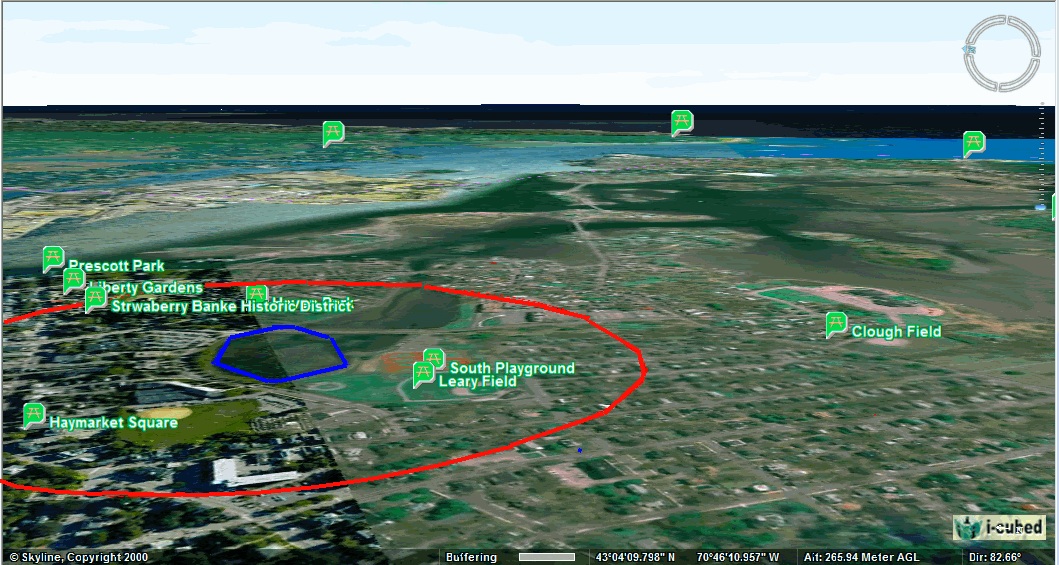 |
Overlay unique information onto geo-referenced 3D environments
TerraExplorer Plus users can add 2D and 3D shapes with advanced editing capabilities. Pro users can further enhance the 3D environment by adding dynamic objects and loading pre-prepared 3D models in a variety of formats, such as buildings and point cloud models.
Publish Project Kits
Pro users can create a kit for an entire online project or for a subset of an online project to use offline in disconnected environments, and to share with external users. When creating an offline project in a specific area, all project terrain, data, and objects are included in your mini-project so that you can view and display your “area of interest” comprehensively and accurately in a fraction of the time required to create an entire project. SGWP also offers the option to publish local and Internet kits.
Load geo-referenced imagery and elevation layers
Users can overlay the terrain with imagery layers containing geo-referenced, satellite or aerial images and replace the elevation data of the terrain database with geo-referenced elevation raster. Raster layers can be loaded in supported formats (e.g., .jpg, .ecw, .img, .bmp) and from supported servers (e.g. WMS, Oracle Spatial, TerraGate, ArcSDE). Imported data, of unlimited size and resolution, is automatically morphed with the terrain imagery.
Extended Feature Layer Support and Editing
Using the Attribute Table, TerraExplorer Pro users can fine-tune feature information that is displayed on the terrain or create a new project layer or file based on the filtered layer. Pro users can also select features by performing sophisticated spatial queries, searching for features within a given area or based on their relation to other features. The selected features can then be merged into a single feature, clipped one from another, or exported to a new file. Extensive feature layer format/server support for both Plus and Pro users includes Esri shapefiles, Microsoft Access, DXF, DGN, MapInfo, WFS, TerraCatalog, Skyline Feature Server, ArcSDE, and Oracle.