
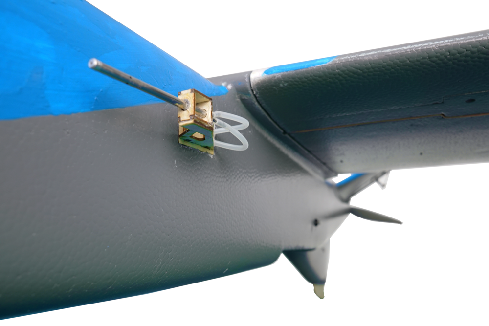
The LT-1 package is included with highlysophisticated UAV tracking system. It equipswith GPS +GSM electronic module
thatprovide dual locational tracking capabilities.
- Provided is an activated phone SIM cardwith dual phone numbers for Hong Kongand mainland China application
- Within 5m of locational accuracy
- Data subscription plan of the mobile SIM can be recharged in any Circle-K or 7-11 shops
- 5 days of battery life (self-powered)
- Use GPS satellite network to locate itself
- Also use A-GPS technology from mobile phone network to delineate its location
- Misson Comes First, We Provide Total Aerial Mapping Solution not Just a UAV
The SP-1 is custom design from ground up for aerial mapping application. It equips with the best mission planning software
in the world. Used the most accurate Ublox Neo-M8N series GPS chipset support GNSS GPS, GLONASS, Galileo, BeiDou, QZSS
and SBAS engine.
- No Flying Skills Required
The SP-1 is one of the easiest and safest UAVs on the market. To launch, just start its motor, it then flies, captures images
and lands itself automatically.
- Because R&D Matters
Started at 2007 from its first prototyping till now; this is a product that comes with 8 years of evolution and testing. Due to its
carbon fiber construction it weights 2500g only which minimising its impact energy.
- Made in Hong Kong with Platinum Warranty
We based on Hong Kong that’s why we can provide immediate product supports including replacement, repairing and technical
support service in next business day onsite basis.
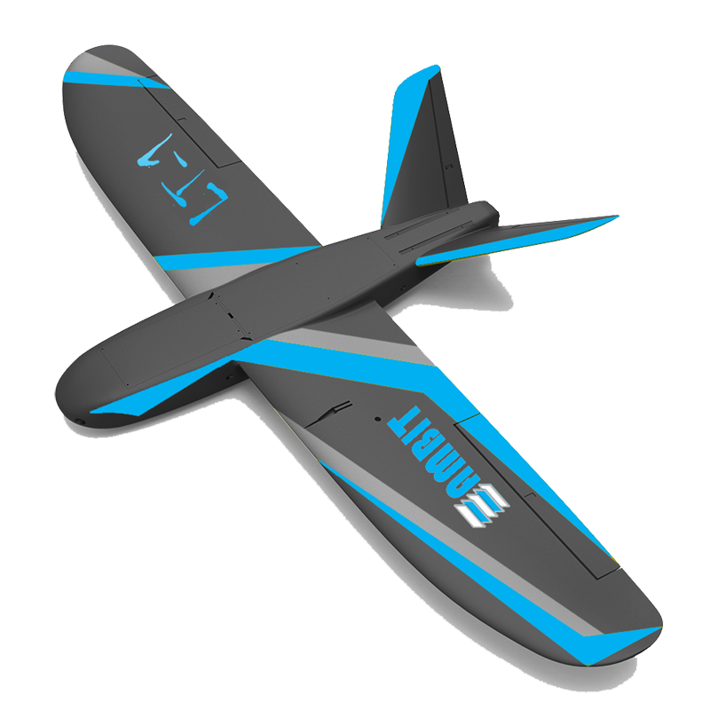
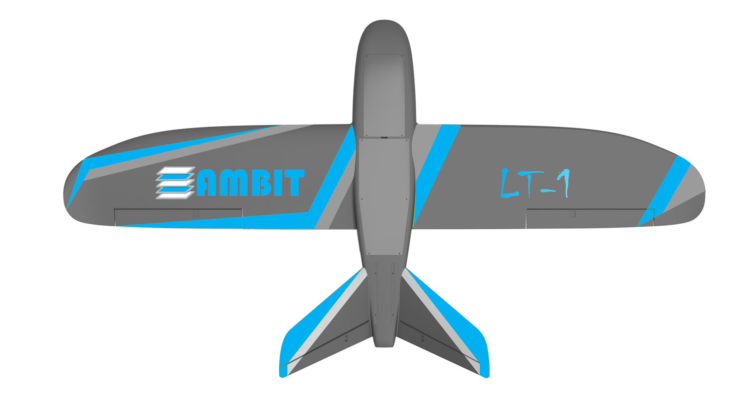
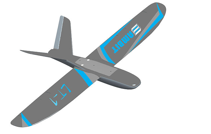
Unmanned Aerial Vehicles (UAV) is a genericaircraft design to operate with no human pilotonboard. It has recently
become commer ciallyavailable at very reasonable cost for civilapplications.
Through custom design and careful research,AMBIT is proudly presented this UAV solutionto organization which is
looking forprofessional grade digital photogrammetryservices.
And it is a 100% made in Hong Kong product.
- Hardware
Talk Off Weight: Approx. 3000g
Propeller Size: 12’’×6” propellers
Material: EPO
Propulsion: One 930KV brushless DC motors
Battery: One LiPo 4S, 10000 mAh
Camera (supplied): SONY Alpha a6000 + Sony 16mm lens
Cameras (optional): SONY Alpha a6000 + Sony 20mm lens
- Operation:
Maximum flight time: 60 minutes
Suitable mapping extent: Up to 2.2 km²
Nominal cruise speed: 15 – 20 m/s
Radio link range: Up to 3 km (Line of Sight)
Normal coverage (single flight): 1.8 km² (at 200 m altitude AGL)
Wind endurance: Up to 8 m/s
Ground Sampling Distance (GSD): Down to 4.2 cm per pixel (relative to AGL)
Relative orthomosaic/3D model accuracy: 2 times of its GSD*
Absolute horizontal/vertical accuracy (w/GCPs): 2 times of its GSD*
Absolute horizontal/vertical accuracy (no GCPs): 1-2 m
Automatic 3D flight planning: Yes
Linear landing accuracy: Approx. 10m
*Achieved by using Acute3D CONTENTCAPTURE or Skyline PhotoMesh
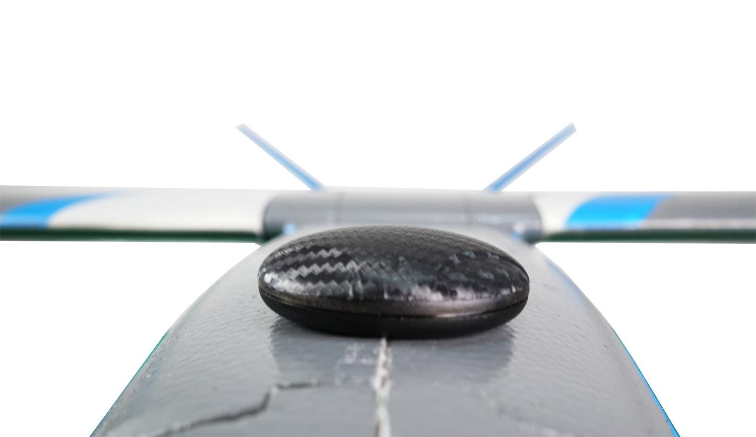
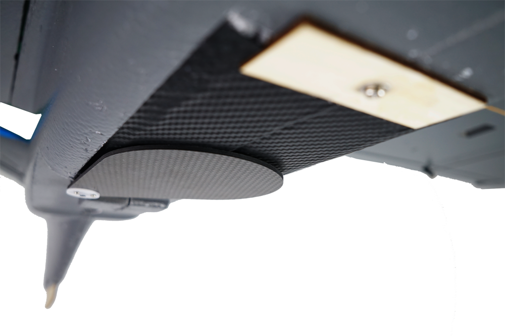
- LT‐1 body (inc. all electronics & built‐in autopilot system)
- SONY Alpha a6000 digital camera (inc. 32 GB SD card,
- battery, USB cable & charger)
- GPS and GSM location tracker (inc activated data SIM card)
- 868 MHz USB telemetry antenna for data link (inc. USB cable)
- Two lithium‐polymer UAV battery packs & charger
- Two spare propellers
- Carry case with foam protection
- FrSky Taranis X9D Plus 2.4Ghz remote control & receiver(for safety pilots)
- User manual
- Acer Aspire V11 laptop computer as ground control station
- Software included: FlyGuideTM for mission planning & control
- 2 days on‐site training
- 1 year platinum warranty service